
The towns of Snowflake and Taylor are completing a multi-jurisdictional transportation plan, and the relationship of the proposed transportation network to future economic development emerged as a consideration, Town Engineer Rob Emmett advised Snowflake Town Council April 26.
Emmett explained that because the towns did not adequately address in their general plans or other planning documents, locations for future employment corridors or growth areas, the consideration of desired economic or employment elements could not be incorporated into the transportation plan; therefore they are required to analyze potential employment opportunities and suitable locations to allow for the updating of future transportation plans.
It was noted that the area north of State Route 277 presents significant opportunities for industrial and commercial development due to the unique combination of transportation and energy infrastructure.
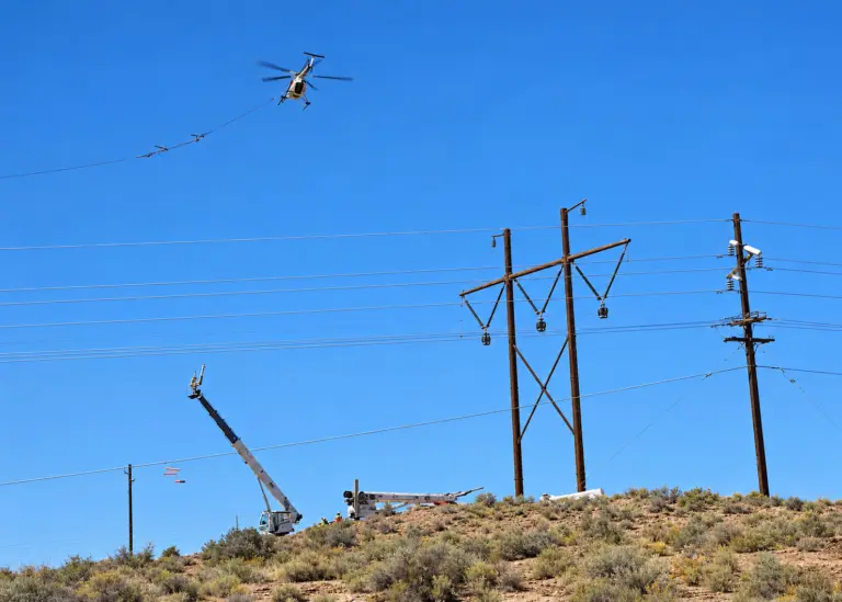
Emmett explained that the area between the paper mill and the western area of Snowflake has access to railroad services, natural gas and high voltage power, and has large, undeveloped parcels of land available.
“This corridor is defined as a prime location to enhance economic development,” said Emmett.
Three north-south collector or arterial street locations were identified, including Porter Road, Freeman Hollow Road and Trebil Road. The goal is to have a road from SR 277 to Pinedale Road in Taylor.
These streets were evaluated using connectivity to regional street network, minimal topographic impacts, access to large, undeveloped parcels of land, proximity to rail and energy infrastructure and compatibility with other planned developments. They averaged all consideration factors and felt that Trebil Road would be the most acceptable.
Emmett said if the council accepts it, the next steps would be to adopt the Snowflake/Taylor Multi-Jurisdictional Transportation Plan developed through an Arizona Department of Transportation grant; refine land use and transportation plans, which should be coordinated with Navajo County, the Town of Taylor, and Aztec Land and Cattle Company; conduct the west Snowflake area detail land use and transportation plans, which should be completed as specific area plans that would be the basis of a General Plan amendment; and define the areas for annexation, which may require annexation agreements with property owners to define zoning or land entitlements, development requirements and public assistance.
“I think with the economic development committee we’ve said we really need to look at creating a corridor not only for transportation, but for land use, as well as utilities and other infrastructure,” said Town Manager Paul Watson. “I think where we are tonight is the very first baby steps and we need to look at context.”
He noted that this land would be set aside for industrial uses and make the community a place to sustain family, with areas identified as commercial and other residential needs.
“Tonight we’re really bringing forth the concept,” said Watson. He said they have talked to one major property owner, but there will be a number of players with whom they need to talk.
“What we’re hoping for from the council is to get the concept accepted, so we can say the council is supportive of this and wants to move forward with the process,” said Watson.
“I think we would like to let you know that you do have a consensus to move forward,” said Mayor Kelly Willis.