
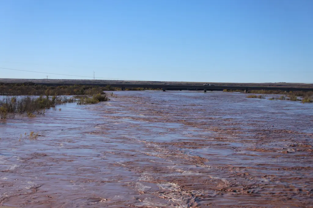
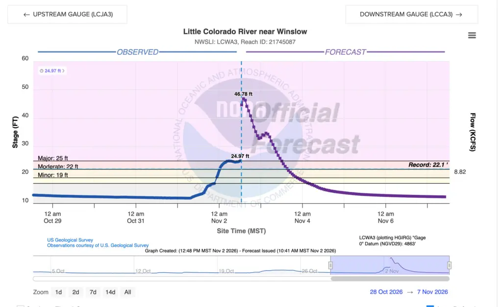
The Little Colorado River rose to a record level at Winslow early Monday and Navajo County ordered residents of Ames Acres and Bushman Acres to evacuate as the river pressed against the levee that protects the south side of town. Several adjacent areas were asked to prepare for potential evacuation. The National Weather Service in Flagstaff said the gauge at Winslow stood at 24.59 feet at 10 a.m., more than five feet above the 19-foot flood stage and above the previous record of 22.12 feet set in March 2023. The weather service said the levee is overtopped at 25 feet, bringing major flooding to portions of Winslow including Ames Acres and Bushman Acres and that further rises above major flood stage were forecast through Monday afternoon as water continued to arrive from upstream.
Navajo County Emergency Management and Preparedness issued the evacuation order Monday morning, telling residents along the river in the two neighborhoods to leave immediately with their families and animals and go to higher ground. By 8 a.m. the county said shelters were being set up at First Baptist Church, 411 N. Warren Ave. and Winslow Christian Church, 502 Airport Road. The county also encouraged residents of Five Mountain Estates north of Winslow to leave, warning that anyone who chose to stay should be prepared to shelter in place for 24 to 48 hours without the ability to leave and without emergency services. A shelter for animals, from household pets to livestock, was opened at the Navajo County Fairgrounds, 404 E. Hopi Drive in Holbrook.
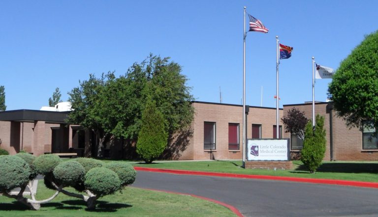
Little Colorado Medical Center received notice of a possible evacuation and began preparing for it, CEO Travis Udall said. The hospital explored its options, including discharging every patient who could safely be sent home and moving the remaining patients to Flagstaff Medical Center, about 53 miles away. Udall said the hospital also worked with the Winslow Unified School District on opening Bonnie Brennan Elementary School to potentially host patients and doctors and to give out antibiotics and other medicines. As of press time on Monday, the hospital had not been evacuated.
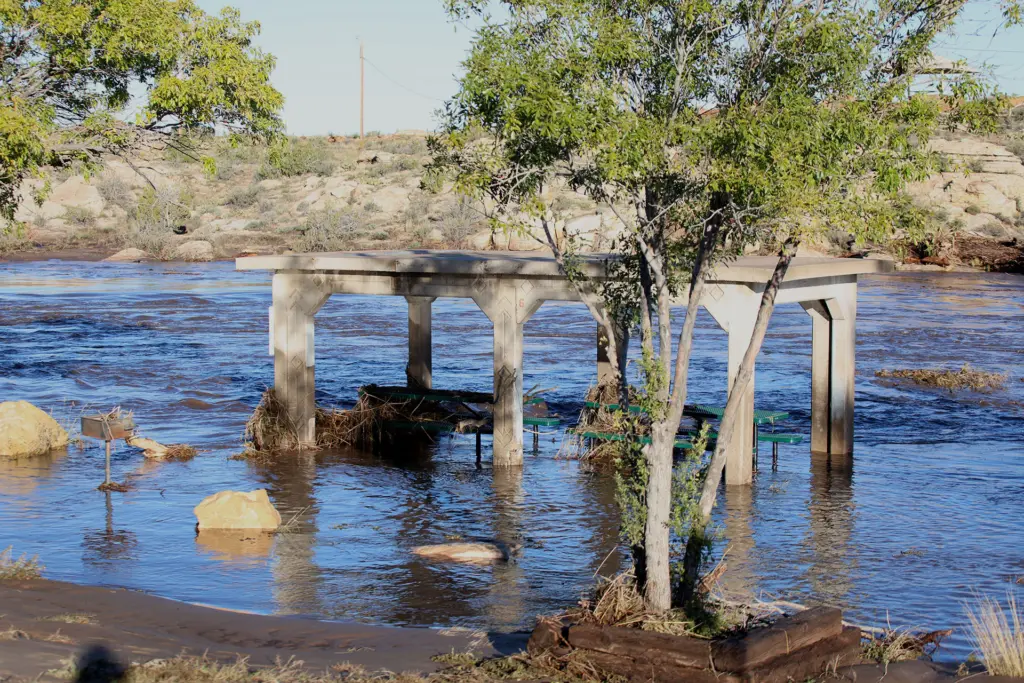
City of Holbrook residents were on alert Monday morning as the river crested at 22.41 feet, just two feet shy of a major flooding event and a historic high for the community. Levee Superintendent Tim Kelley said the city is fortunate that no homes were damaged, as the water was contained by the levee. The weather service’s flood stage at Holbrook is 15.5 feet, a level at which the railroad bridge is affected and water overflows the south bank. The county had advised residents in and around the Lewis Subdivision to move to set status, the step before an evacuation order, as the river rose.
Joseph City was also on alert when the Leroux Wash filled on Sunday, with a local RV park evacuating people in low-lying areas, but no other problems were reported and major flooding was reported to be limited to rangeland in the area. The weather service forecast the river at Joseph City to crest just above its 9-foot flood stage Monday afternoon, with minor overflow on the north bank and no threat to buildings. Joseph City Schools were closed Monday because of flooding and road damage and Northland Pioneer College opened at 11 a.m.
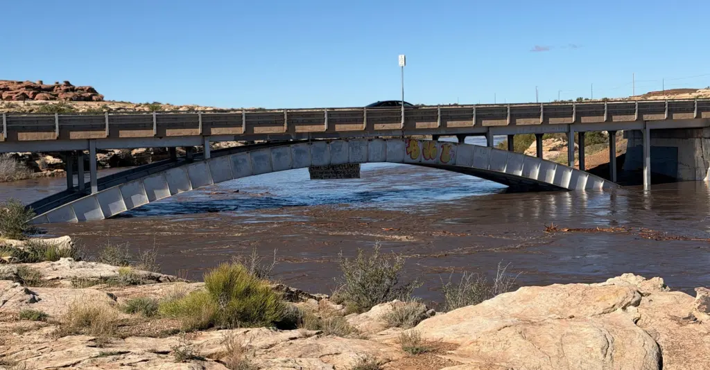
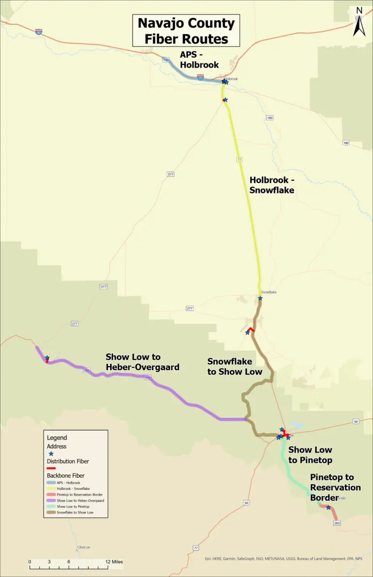
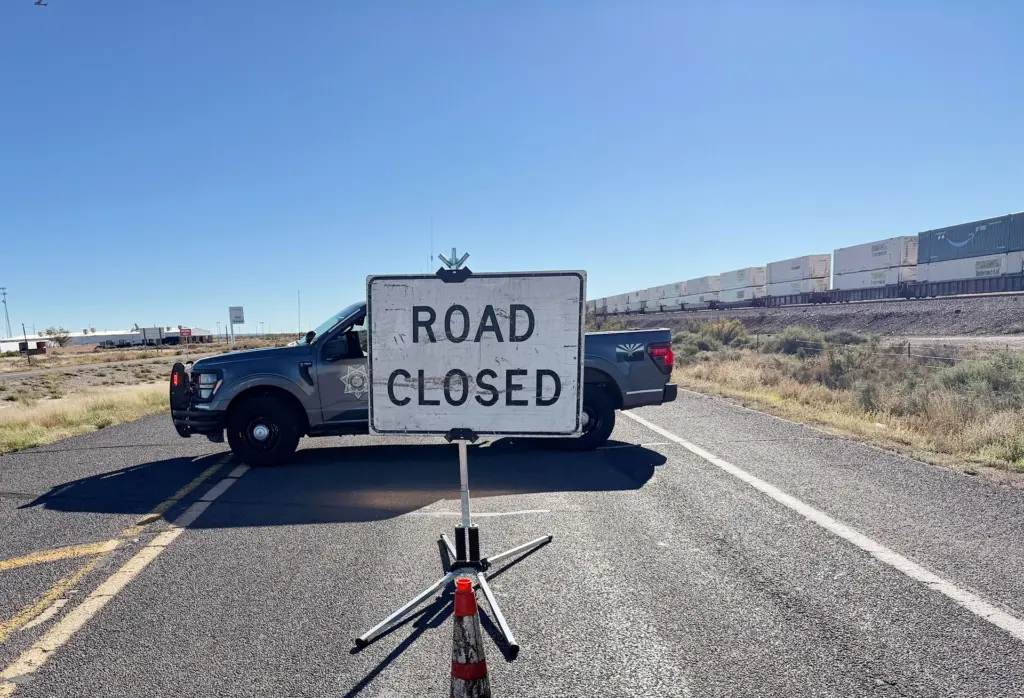
Farther up the river, the weather service said the gauge near Woodruff was expected to crest at about 25 feet, above the 20.5-foot level at which residential yards begin to flood. In Snowflake and Taylor, the Snowflake-Taylor Police Department reported State Route 77 reduced to one lane at milepost 362 near Pioneer Park, State Route 277 closed at milepost 317 and the Jake Flake Crossing on West Seventh Street South closed, while the Concho Highway remained open. The Arizona Department of Transportation reported State Route 377 closed northbound from Heber-Overgaard toward Holbrook and the weather service’s overnight warning listed stretches of Interstate 40 between mileposts 261 and 269 and between 275 and 321, along with Business 40 through Holbrook, as roads subject to flooding.

The flood warning for the river from Woodruff to Leupp remains in and the weather service said the river will continue to rise downstream after it crests at Winslow. At 17 feet at Winslow, the approaches to the Navajo Route 71 bridge near Bird Springs flood and Leupp comes within 3 feet of flooding, with the crest arriving at Navajo Route 71 roughly 18 hours after it passes Winslow. The weather service said Sunday evening that several roads across the Navajo Nation remained closed because of flood damage and its warnings Monday covered Dilkon, Greasewood, Teesto, Low Mountain and the Hopi villages of First Mesa, Second Mesa, Shongopovi, Kykotsmovi and Hotevilla-Bacavi.
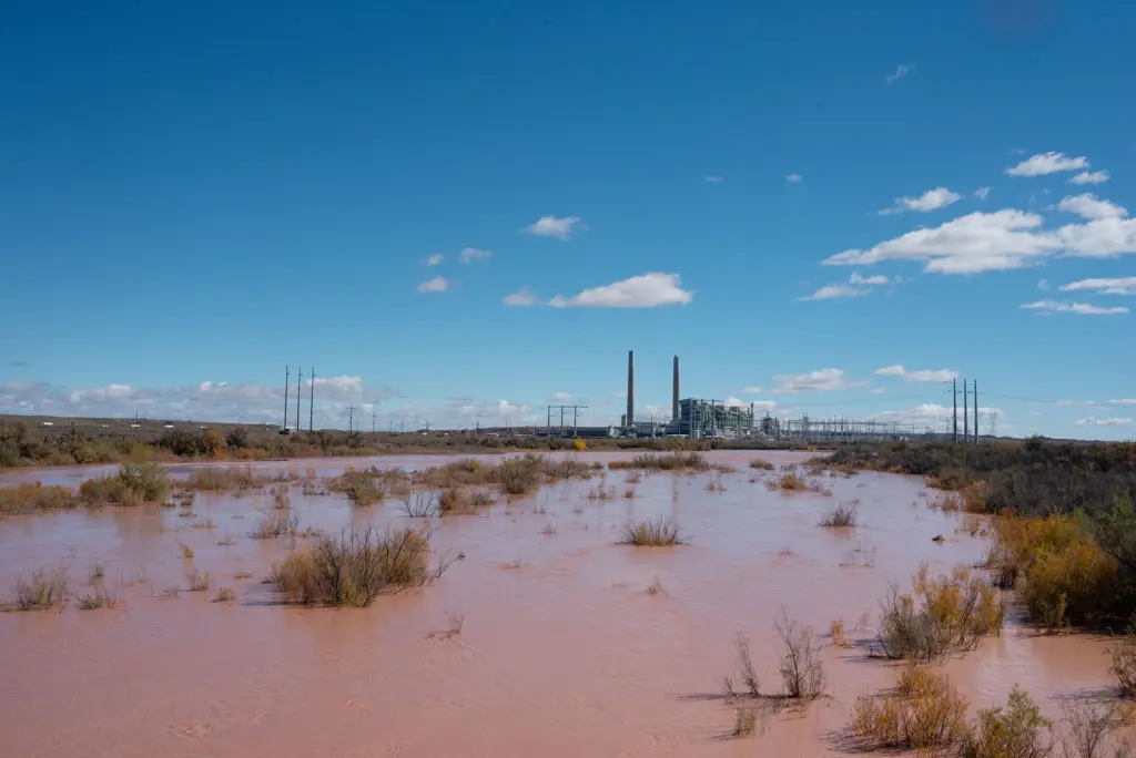
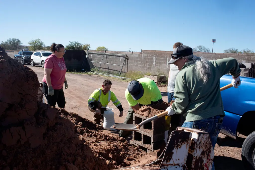
The county has opened sandbag stations at the Winslow Fire Department, 215 N. Taylor; the Arizona State Prison Complex-Winslow, 2100 S. Highway 87; the Joseph City Fire District, 4513 Main St., where residents are asked to bring their own shovels; and the Holbrook Fire Department on McLaws Road or behind the American Legion, as well as the Taylor Rodeo Grounds. Residents can register for county emergency alerts through the Ready Navajo County system and find updates at 311info.net.
The weekend storm arrived less than two weeks after a separate system struck the county Oct. 20 through 22, bringing heavy rain, hail, high winds and a tornado that the weather service rated an EF-1 with peak winds of 110 mph through Heber-Overgaard on the evening of Oct. 21. The Navajo County Board of Supervisors declared a local emergency that night and the county formally applied for state financial assistance Oct. 28. Gov. Katie Hobbs declared a state of emergency for Navajo and Coconino counties Oct. 30, directing $200,000 from the state general fund to the Arizona Department of Emergency and Military Affairs for response and recovery from the October storms. The Hopi Tribe declared its own emergency after that storm flooded homes in Moenkopi and the governor’s office said at the time that the flooding did not meet the threshold for a federal disaster request. Whether the state declaration will be extended to cover this weekend’s flooding had not been announced as of Monday afternoon.
All information is current as of 1:30 p.m. on Monday. Please watch the Painted Desert Tribune Facebook page for up to date information.