
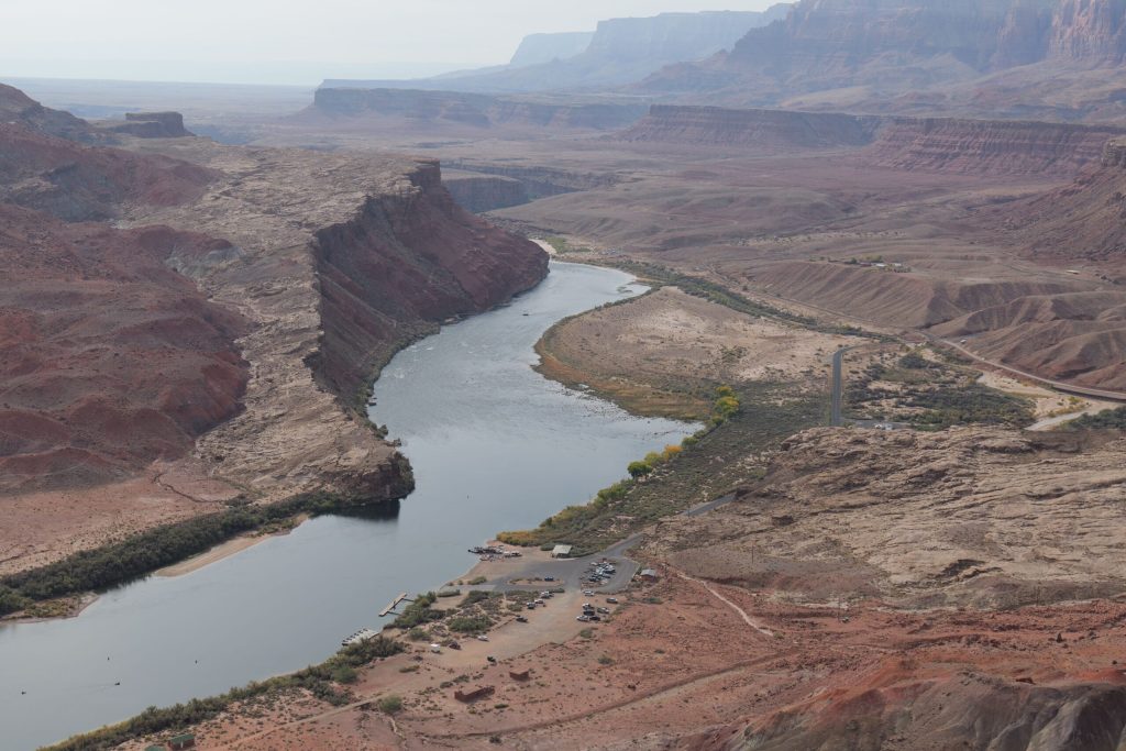
The federal government recently released its plan for managing the shrinking Colorado River, ordering the steepest water cuts in the river’s history for Arizona, California and Nevada. The Arizona Department of Water Resources called the plan devastating; several states are openly weighing lawsuits and the decade of water politics ahead of the Southwest just came into focus. For Navajo County, which takes no water from the mainstem river, the news arrives at a distance. But the forces the plan sets in motion, from new pressure on rural groundwater to the fate of the largest tribal water settlement in American history, run straight through the county.
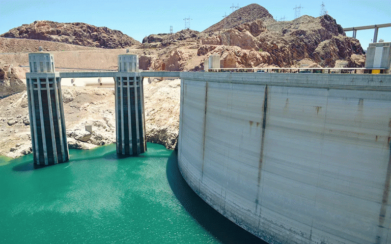
To understand Friday’s announcement, it helps to go back a century. In 1922 the seven states of the Colorado River Basin divided the river on paper, allocating 15 million acre-feet a year between an Upper Basin and a Lower Basin. The negotiators worked from records gathered during an unusually wet stretch of years and the river they divided has rarely existed since. An acre-foot is about 326,000 gallons, roughly what two to three Arizona households use in a year and by that measure the compact promised more water than the river reliably carries. For decades the gap stayed hidden because the Upper Basin states of Colorado, Utah, Wyoming and New Mexico used less than their share and two enormous reservoirs, Lake Mead and Lake Powell, banked the surplus. The megadrought that began around 2000 ended that arithmetic. The reservoirs have fallen for a quarter century and after a record-dry winter this year they sit at their lowest combined levels since they began filling.
The modern rules for sharing shortage, adopted in 2007 and reinforced by drought contingency plans in 2019, expire at the end of this year. The seven states spent more than two years negotiating replacements and failed to agree, with the Upper Basin states arguing they should face no mandatory cuts because drought already shorts them. With the deadline approaching and no deal in hand, the Bureau of Reclamation stepped in with its own plan on Friday.
The numbers are dramatic. Arizona would give up 760,000 acre-feet of its annual allotment, by far the largest cut among the Lower Basin states. California would lose 440,000 acre-feet and Nevada 50,000. After 2028 the combined Lower Basin reductions could reach 3 million acre-feet a year, roughly the amount Arizona and Nevada together receive, with the actual cuts reset every two years based on reservoir conditions. The plan runs through 2036 and a final federal record of decision is expected in the coming weeks. State water officials warned that reductions on that scale would cause severe harm to Arizona’s economy and some coverage of the plan has estimated the state could lose more than three quarters of its river share in the deepest cut years. Litigation among the states, or against the federal government, is a live possibility and a compact lawsuit could put the whole framework before the Supreme Court.
None of that water flows from a tap in Navajo County. This county was left out of the great canal projects of the twentieth century and the Central Arizona Project that carries river water to Phoenix and Tucson runs hundreds of miles to the south and west. Local surface water comes from the Little Colorado River and its tributaries. The real lifeline, as detailed in the two-part series A Thirst for Growth in the Tribune this summer, is the Coconino aquifer, the deep sandstone formation that underlies Holbrook, Joseph City, Snowflake, Taylor and the Show Low area. A federal study decades ago mapped the aquifer across roughly 3,400 square miles of southern Navajo County and more than half the county’s residents live in rural areas served by wells drilled into it. Friday’s plan does not affect a single acre-foot of any of that.
The protection, however, is legal rather than physical and the legal ground is shifting. Navajo County, except for Joseph City, sits outside the Active Management Areas created by Arizona’s landmark 1980 Groundwater Management Act, which imposed pumping rules on the Phoenix, Tucson and Prescott regions. Outside those zones, groundwater runs on a court-made doctrine of reasonable use, which in practice means a landowner may pump what the land can put to reasonable use. Wells need only be registered with the state and a domestic well pumping under 35 gallons per minute requires no permit at all. Nobody meters the aquifer and nobody caps it.
That framework was built for an era when the river carried the load and groundwater was the backup. Friday’s plan accelerates the reversal. Water experts expect the cuts to mean higher water prices, fallowed farmland and heavier groundwater pumping across central and southern Arizona and the same logic applies wherever water is scarce and rules are thin. At the state Capitol, legislators and rural officials have argued for years over creating rural groundwater management areas that would bring basic oversight, such as measurement and local planning, to basins like this one. Supporters of that idea gained a powerful argument on Friday. Whether Navajo County residents view new rules as protection for the aquifer or interference with property rights, the debate is coming and this county’s water future will be decided as much in Phoenix as in Washington.
The other unfinished business runs through a courtroom in St. Johns. Since 1978 the Apache County Superior Court has presided over the Little Colorado River adjudication, a single sprawling case meant to determine the priority and extent of every water right in the watershed. Thousands of claimants are joined in it, from ranchers with stock ponds to cities, utilities and the federal government and after 48 years no final decree exists. The case moves in technical stages. In February the court’s special master ordered the state water department to produce reports for the Upper Little Colorado subwatershed, due in 2028 and 2029, that will help determine which wells near the river are treated as pumping subflow, meaning groundwater legally connected to the surface stream. Claimants who have filed in the adjudication should keep their addresses and filings current, because objection windows follow each report.
The largest claims in that case belong to the Navajo Nation, the Hopi Tribe and the San Juan Southern Paiute Tribe and their resolution is the biggest water story in northeastern Arizona. In 2024 the three tribes, along with the state, Salt River Project, the Central Arizona Water Conservation District, the city of Flagstaff and other parties, signed the Northeastern Arizona Indian Water Rights Settlement. The agreement would quantify the tribes’ rights, end their decades of litigation in the adjudication, authorize roughly $5.1 billion for pipelines and water development, including a major delivery project for communities that still haul water by truck and establish a reservation for the San Juan Southern Paiute, the only federally recognized tribe in Arizona without one. Taken together it would be the largest Indian water rights settlement in United States history, covering claims across some 11.5 million acres that are home to more than 100,000 tribal members.
The settlement is not law yet. Ratifying legislation was reintroduced in Congress in March 2025 by Arizona senators Mark Kelly and Ruben Gallego with bipartisan House sponsors and the Senate Committee on Indian Affairs held a hearing this March. At that hearing the Interior Department voiced support for negotiated settlements in principle while cautioning that more than $13 billion in tribal water settlements are pending before Congress and that settling parties should hold realistic expectations about federal contributions. Part of what the tribes negotiated for is Colorado River water from both basins and Friday’s plan sharpens an uncomfortable question that hangs over every settlement on the river. A quantified right is a promise on paper and the paper is only as good as the water behind it. The urgency is not abstract. The Navajo Nation declared a drought emergency in June as reservoirs, wells and stock ponds across the reservation declined and by some estimates a third of Navajo households still lack running water.
The through line for local readers is this. While Friday’s plan does not touch local wells, city systems or irrigation rights, it does change everything surrounding Navajo County. It confirms that the era of cheap and plentiful river water is ending, it strengthens the case for the first regulation the Coconino aquifer has ever seen and it raises the stakes for a tribal settlement that would finally answer, after nearly half a century of litigation, who owns the water of the Little Colorado. This county’s independence from the big river always looked like the raw end of an old deal. In the decade ahead it may prove to be insulation but only if the aquifer that provides it is still healthy when the dust settles.