
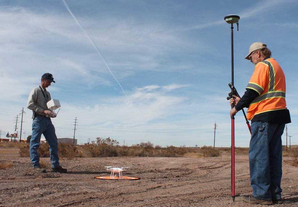
Photo by Linda KorHolbrook is getting closer to implementing its plan to develop a fishing pond at the west end of the city. Earlier this month Navajo County Engineering Project Manager Jason Owens (left) used a drone to map the topography of the site as part of the engineering preparation. Assisting with the endeavor was Navajo County Surveyor Myron Jasmann (right).

Correction: The original post stated the pond will be located on the east end of town, it is located on the west side.

While mapping the site, the drone took this photo of the City of Holbrook looking to the east from the pond area located west of 13th Street.