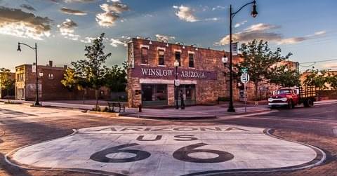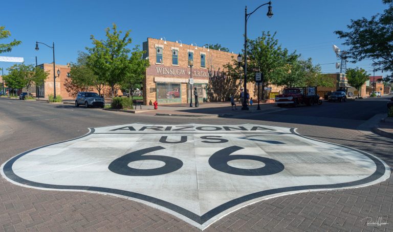

The City of Winslow is on the verge of adopting a new general plan, a comprehensive document designed to guide the city’s development over the next decade. This is the first general plan the city has attempted to pass in over 20 years. This plan includes a land-use map that provides an overarching vision for the types of development envisioned for various areas within the city. It is important to note, however, that this is not a zoning map; it does not dictate specific zoning for individual properties but rather outlines the general types of development the city aims to encourage and in what neighborhoods.
The city has held several meetings leading up to the creation of this general plan and is now seeking final input from the community. An open house was recently held to engage with residents and gather their feedback. Additionally, the city is looking to establish a planning and zoning commission because of the number of citizens who want it reinstated; applications for which are on the city’s website.
Several significant updates have been made to the general plan, many of which may not yet be shown to the public but were based on public input.
The city will continue to permit the closure of downtown streets for events. There will also be efforts to implement traffic calming measures and improve RV access in the downtown area.
Additional retail land uses have been designated for both the east and west sides of town, with increased acreage allocated for commercial development in these areas. There was concern about adding commercial land use north of the prison, which is located south of the city, to buffer the area before transitioning to residential zones. In response, language was added to the plan to contemplate different land uses around these areas.
Residents expressed a desire for more retail options in Southside and Coopertown. The planned commerce park will address this by putting retail near and around these neighborhoods. Downtown, small lots have mismatched zoning and the plan encourages the council to pass a new district to accommodate these small lots. Housing language for northern Winslow and Southside was rewritten after some residents felt the Southside housing language was inferior compared to the north side. Special language has also been included for housing around the airpark development, addressing both permanent and temporary housing needs.
“The biggest land use map change was there will no longer be changes to the zoning of the land south of Southside,” said Jason Sanks, the city’s Planning and Zoning officer. Sanks further stated that they really are looking at keeping the area east of Highway 87 and south of Southside as light commercial to buffer from the more industrial zonings.
Additionally, the plan suggests that as the city grows and becomes more diverse, specific commercial zoning designations may be needed to protect residential neighborhoods by ensuring that commercial uses do not interfere with homes. There is also language in the plan that emphasizes balancing the quality of jobs with the impact of industry on the population.
Sanks aims to approve the general plan by June 10, during the next Winslow Planning and Zoning meeting. Following this, the plan will be put on a council agenda likely in July or August, according to Sanks. Both the planning and zoning meeting and the council meeting will allow time for public comment.
Residents can still make their opinions heard before the plan is sent to the council by emailing winslowzho@gmail.com as well as speaking at the zoning meeting at 6 p.m. on June 10 at the Chamber of Commerce, located at 523 W. Second St. and the full plan can be found on the city’s website.